Construction. Sometimes it seems like it’s happening everywhere in the City of Seattle.

Now, with a new online map, you can easily keep up with every project on your desktop, laptop or mobile device.
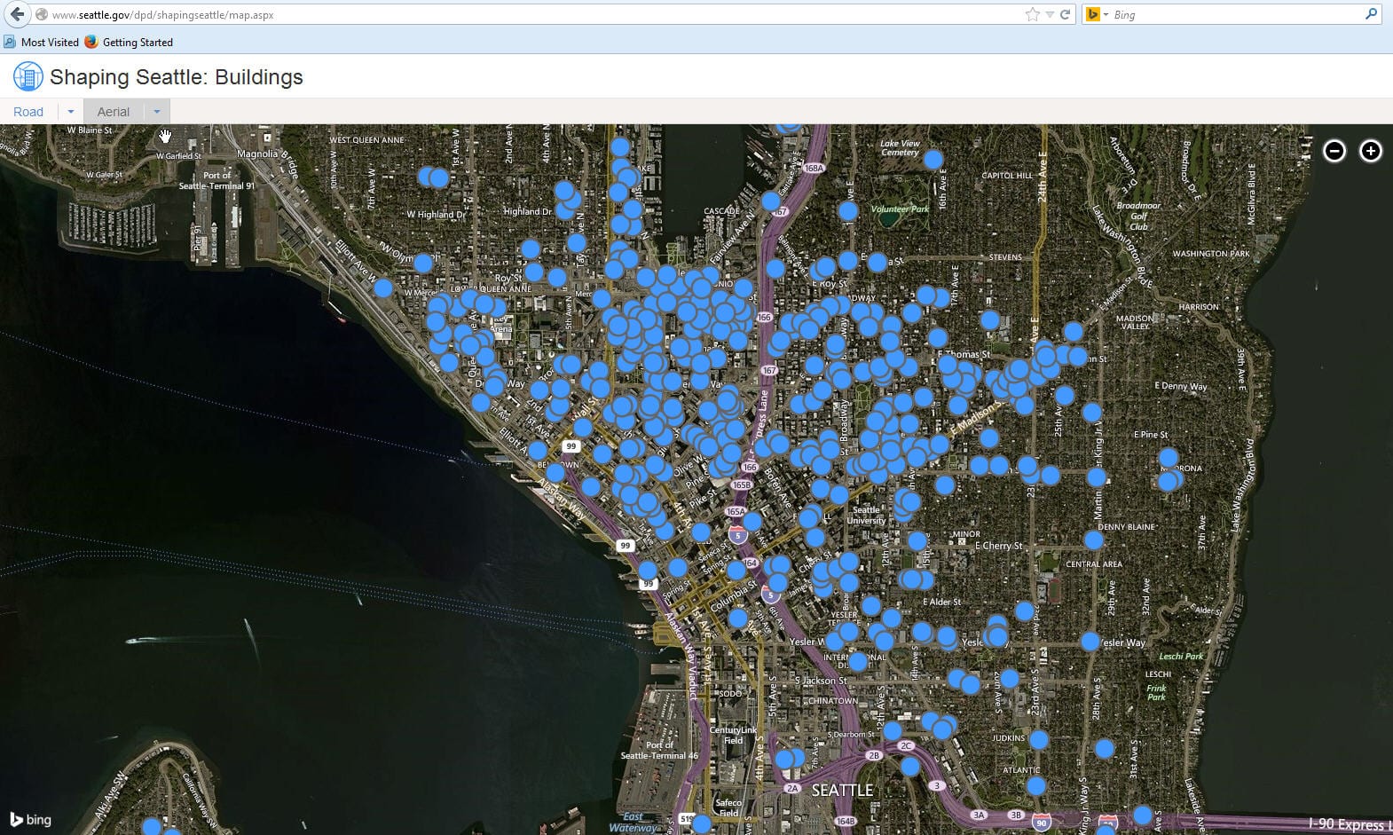
Mayor Ed Murray announced Shaping Seattle: Buildings, a new interactive tool from the Department of Planning and Development. It’s an interactive, online map that provides locations and detailed information of active Seattle development projects that require Design Review.

Shaping Seattle: Buildings offers both road (blue) and aerial views (above).

The app gives users the ability to:
- View proposed building design and project status
- Download project documents
- Comment on the project
- View upcoming public meetings about the project
You can click on any project and it brings up more detail including the timeline and any upcoming public meetings.
The app was designed using a mobile first approach and uses location awareness. The app was developed with flexibility to scale and add new map layers and additional data sets. It was developed by the IT team of Ken Schell, Julie Gephart, Reiko Feinstein and Tara Zaremba in collaboration with key business staff. From concept through implementation, the team delivered in just under 4 months.